Countryle
About Countryle
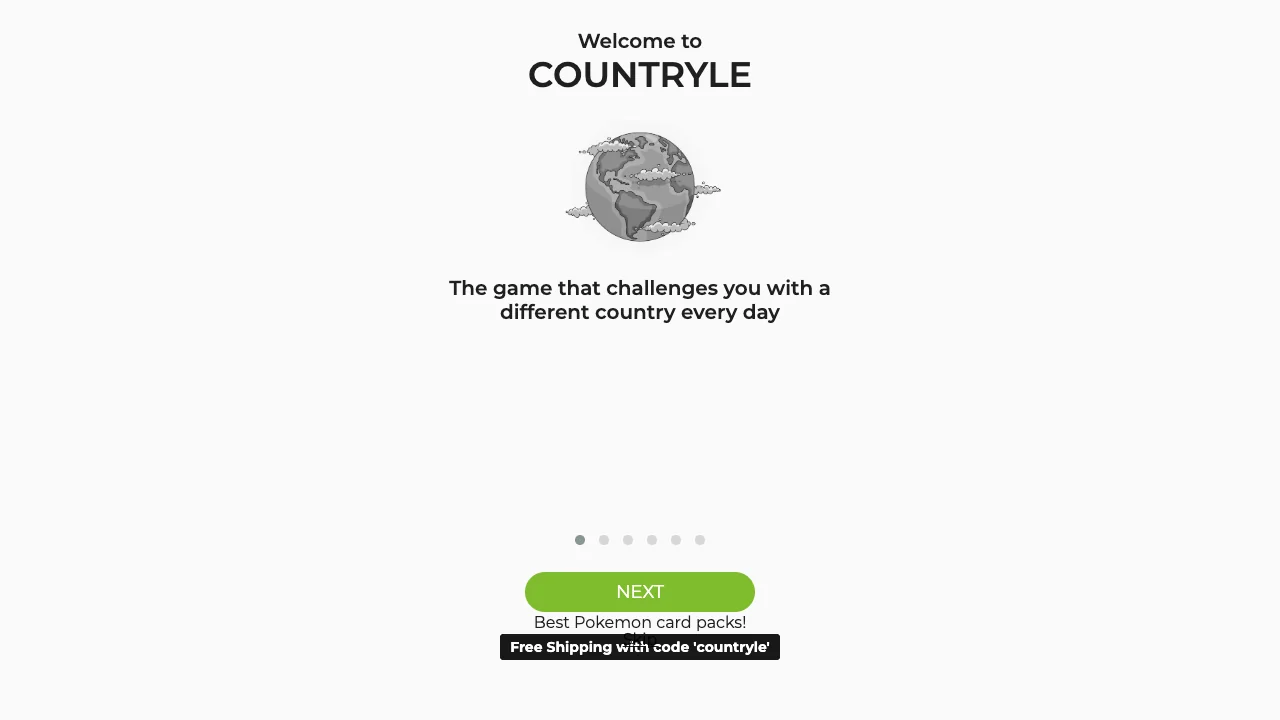
Test your world geography knowledge daily. Guess the mystery nation using clues for continent, hemisphere, climate, and population.
Type any recognized sovereign country name to launch your initial geographic probe.
Examine the resulting feedback table across five key criteria: Continent (match or mismatch), Hemisphere (N/S), Avg Temperature (higher/lower), Population (larger/smaller), and Direction (cardinal arrow pointing toward the target).
Refine your geographic deductions with each guess until identifying the exact mystery nation.
About the game
Countryle is an educational daily world geography puzzle where players deduce a mystery nation through five progressive geographic indicators: continent, hemisphere, average temperature, population tier, and directional compass coordinate.
Made by Countryle Team.
How to play
Any web browser on desktop or mobile. Fast, lightweight vector maps and data tables run seamlessly with zero downloads.
| Keyboard | Type nation names with auto-complete suggestions |
|---|---|
| Click / Enter | Select suggested country and submit guess |
| Esc | Clear current search input |
Quick facts
- Daily updated secret country drawn from globally recognized sovereign states
- Five-column comparative analysis teaching world geography interactively
- Compass arrow indicates precise directional bearing to the target capital
Questions about Countryle
How does Countryle give clues?
Each guess returns feedback on five geographical metrics: Continent, Hemisphere (N/S), Average Annual Temperature, Population Size, and a directional arrow pointing toward the target nation.
Do I need to know exact GPS coordinates?
No. The directional arrow indicates the cardinal direction (e.g., North, Southeast) from your guessed country capital to the mystery country capital.
Are microstates included in Countryle?
Yes. Globally recognized sovereign nations including smaller island states and microstates can appear as the secret daily nation.
Is Countryle educational for classrooms?
Yes. It is widely used by educators and geography lovers to build spatial reasoning and global geographical awareness.
Tips for Countryle
- Choose an initial guess located near the center of the world map (such as Egypt or Turkey) to quickly narrow down continent and hemisphere.
- Use the temperature clue to eliminate polar or tropical regions based on whether the target is warmer or colder.
- Follow the compass arrow bearing closely to triangulate bordering nations and target subregions.
Sources: countryle.com, wordle.today. Last checked .